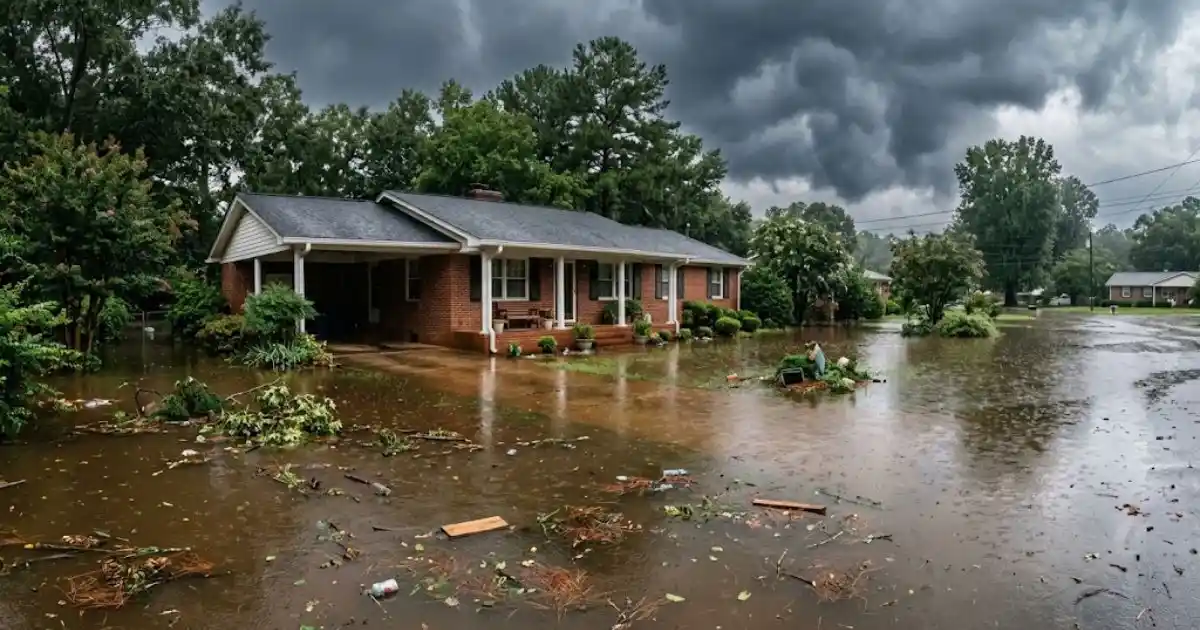
If your Winder property sits near Marbury Creek and you've noticed water in the yard, crawlspace, or basement after a heavy storm, you're not imagining a pattern. There's a real, documented reason certain parts of this drainage area see repeat moisture issues, and understanding it helps explain both the risk and what actually reduces it.
A Real Flood-Control Project, Not Just a Local Legend
The Marbury Creek Watershed Project was built under the federal Watershed Protection and Flood Prevention Act of 1954 and formally dedicated on June 30, 1967. It covers a 16,394-acre drainage area feeding into Marbury Creek in Barrow County, and its purpose was straightforward: reduce flood frequency and severity across that footprint through coordinated water control structures. This is a genuinely documented piece of local infrastructure, not folklore, and it's part of why the flood risk pattern in this part of Winder is different, and better understood, than in areas without a similar watershed program.
Projects like this one were built across many U.S. counties in the mid-20th century specifically because uncontrolled watershed runoff was causing repeated, predictable flood damage to farmland and, later, residential development as towns like Winder grew outward. Knowing a property sits inside a formally engineered watershed footprint, rather than just near a creek in a general sense, changes how seriously a homeowner should treat even a modest amount of standing water after a storm, since the engineering was designed around managing volume at scale, not guaranteeing zero water reaches any single property within it.
Why the Project Reduced Flooding but Didn't Eliminate It
A watershed control project like Marbury Creek's is designed to manage the pace and volume of water moving through a drainage system, spreading out runoff over time rather than letting it all reach low points at once. That reduces the frequency of major flood events significantly, but it doesn't remove the underlying geography. Properties sitting in the lower elevations of that 16,394-acre footprint still see the ground saturate faster than higher ground elsewhere in Winder during sustained or unusually heavy rain, which is exactly the condition that pushes water into basements and crawlspaces even when the creek itself never overflows its banks.
This is a distinction worth sitting with, since it's easy to assume that a documented flood-control project means the flood risk was solved decades ago. In practice, the project shifted the frequency and severity curve without changing where water naturally wants to go on a property-by-property basis. A home that never floods during an average storm can still see water during a genuinely unusual rain event, and that's a different, more predictable kind of risk than living somewhere with no watershed management at all.
What This Actually Means If Your Home Is in the Drainage Footprint
In practical terms, homes near the lower parts of the Marbury Creek drainage area should treat basement and crawlspace moisture as a higher-than-average risk, not a one-time bad-luck event. A sump pump that struggles to keep up during heavy rain, or a musty smell that shows up a day or two after a storm, is worth checking promptly in this area specifically, since the ground here holds moisture longer than a well-drained lot on higher ground. Fast extraction and drying after any water intrusion, our own water removal and structural drying process moves on this within the same day a call comes in, matters more here because the underlying soil conditions give mold less time to be prevented before it starts.
It's also worth knowing that this risk doesn't announce itself the same way every time. Some homes in this footprint see a slow seep along a foundation wall rather than a dramatic pooling event, and that slower pattern is often mistaken for a minor, ignorable issue precisely because it isn't visually alarming. Treating a small recurring dampness pattern the same way you'd treat an obvious flood, worth a real assessment rather than a shrug, is the more accurate way to think about property risk anywhere inside this specific drainage area.
What Homeowners Can Do Proactively
Confirming grading slopes away from your foundation, keeping gutters and downspouts clear, and testing a sump pump before storm season are all real, practical steps that reduce risk regardless of where you sit in the watershed. For homes with a documented history of seepage, a professional water mitigation assessment can identify whether the issue is grading, foundation cracks, or groundwater pressure, since the fix is different for each.
None of these steps require assuming the worst about a property, and most are worth doing even for a home outside the mapped footprint, since general drainage maintenance benefits any Barrow County home during Georgia's heavier summer storm season. What changes for a property genuinely inside this watershed area is the stakes of skipping that maintenance, not the maintenance itself.
How This Compares to Other Parts of Barrow County
Not every Winder property faces this specific watershed-driven risk pattern. Homes on higher ground outside the Marbury Creek drainage footprint see storm water behave differently, draining away faster with less of the sustained ground saturation that defines the lower-lying parts of this particular watershed. That's a meaningful distinction when comparing notes with a neighbor or family member elsewhere in Barrow County whose experience with the same storm might look completely different from yours.
This is also why a one-size-fits-all approach to flood preparedness across Winder doesn't really hold up. A property's actual position relative to this mapped drainage footprint, not just its general proximity to Winder as a town, is the detail that determines whether watershed-related risk is even relevant to a given address. Checking your specific property against Barrow County's floodplain records is a more useful exercise than going by general reputation about which parts of town tend to flood.
Dealing With This Right Now?
Call for same-day dispatch in Winder and Barrow County.
Common Questions
Not automatically. Being in the general drainage footprint is different from being in a FEMA-designated flood zone, and Barrow County's own floodplain program maps specific areas. Worth checking your property's specific status if you're unsure.
If your property is in a lower part of this drainage area and you've had any past seepage, a sump pump is a reasonable, real preventive step worth discussing with a foundation or waterproofing contractor.
The original structures are part of a long-standing federal-era program, and Barrow County's floodplain program continues to track and map risk in this area, though maintenance responsibility for a specific structure is worth confirming directly with the county if it matters to your situation.
Barrow County's floodplain program maintains records of mapped areas, and checking your address directly with the county, or asking during a professional water damage assessment, gives a clearer answer than guessing based on general neighborhood reputation.
If you're dealing with this in Winder, our Flood Damage Restoration page covers the full process, and we also cover Braselton on regular dispatch.
Have Damage That Needs Attention?
Call now for emergency dispatch anywhere in Winder and Barrow County.
☎ Call (678) 798-8530